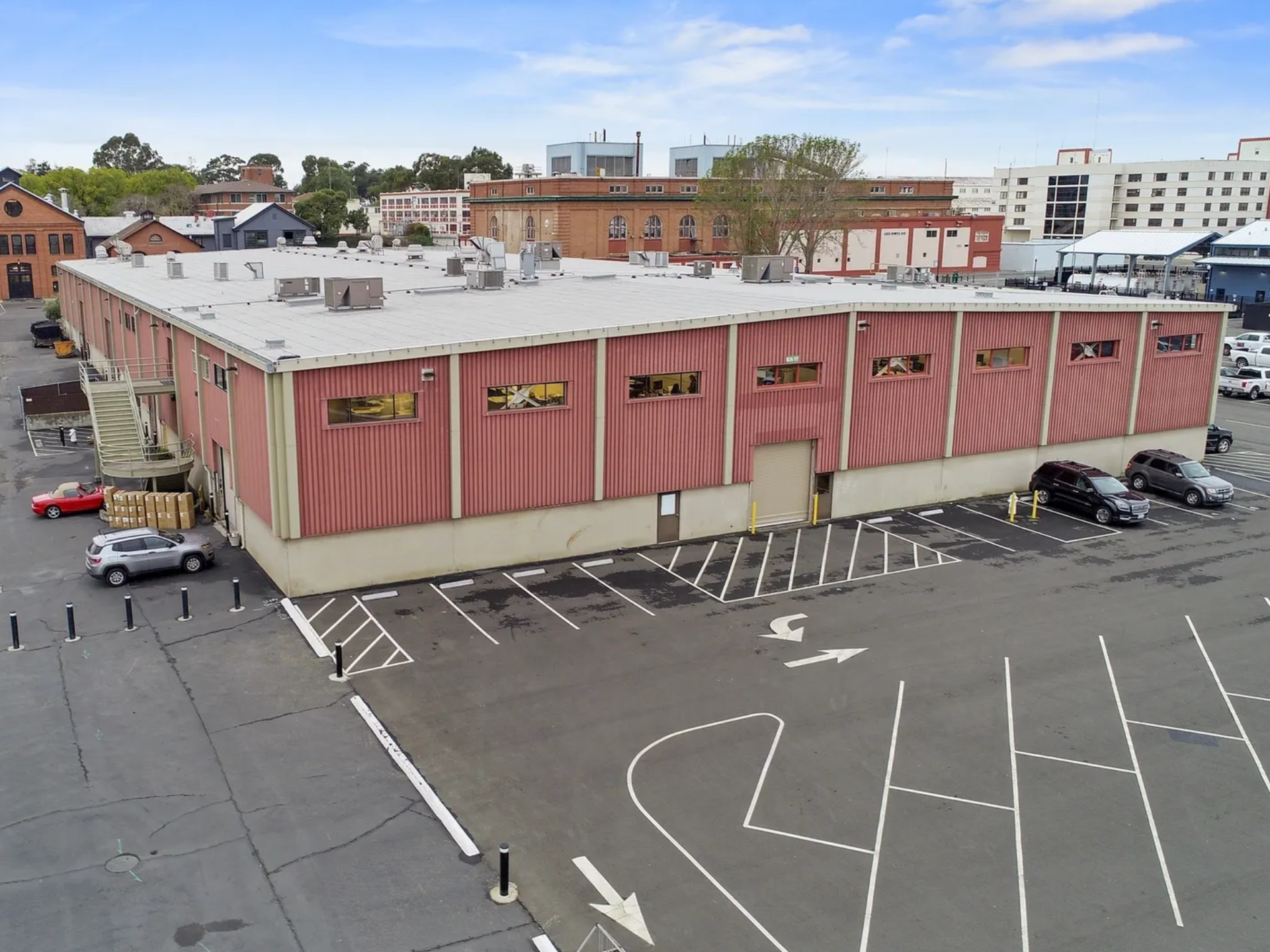
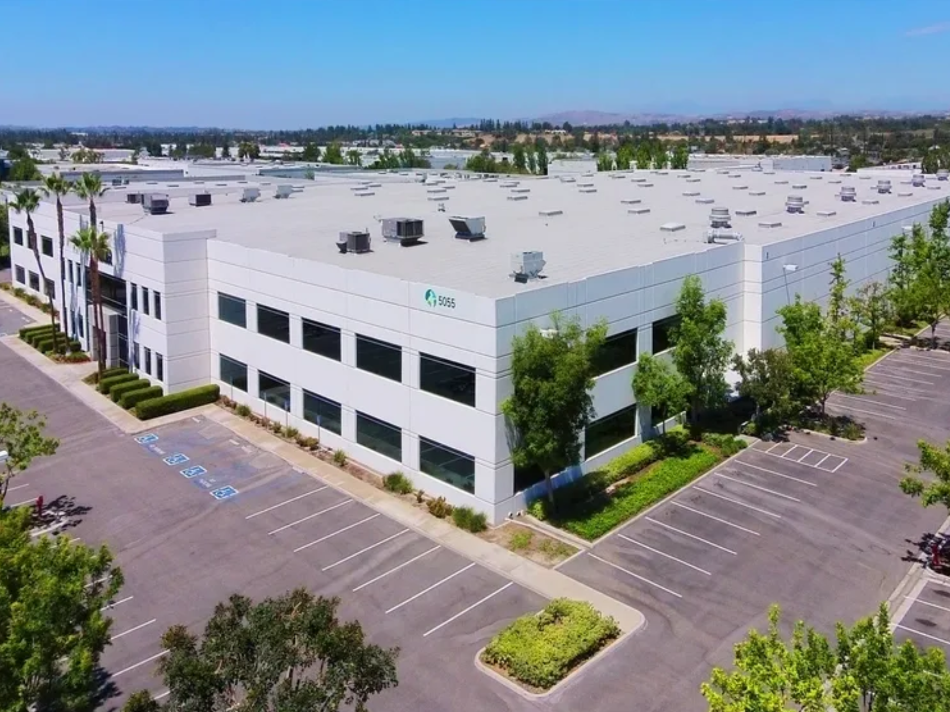
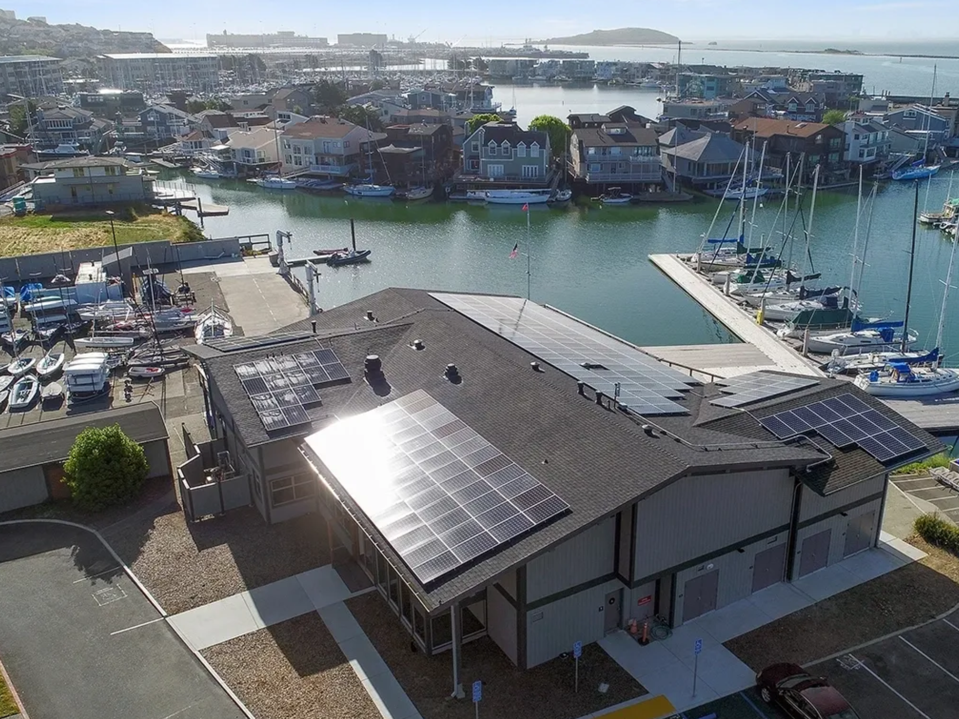
Aerial photography provides a unique perspective for residential and commercial real estate, giving agents the ability to showcase properties in context. For residential listings, aerial images highlight the home’s surroundings, lot size, and proximity to amenities. In commercial real estate, aerial views are invaluable for illustrating property accessibility, nearby infrastructure, and potential development opportunities. Aerial photography not only enhances a listing’s appeal but also provides essential information to buyers that ground-level photos can’t capture. This powerful marketing tool helps agents stand out, attract more interest, and close deals faster.
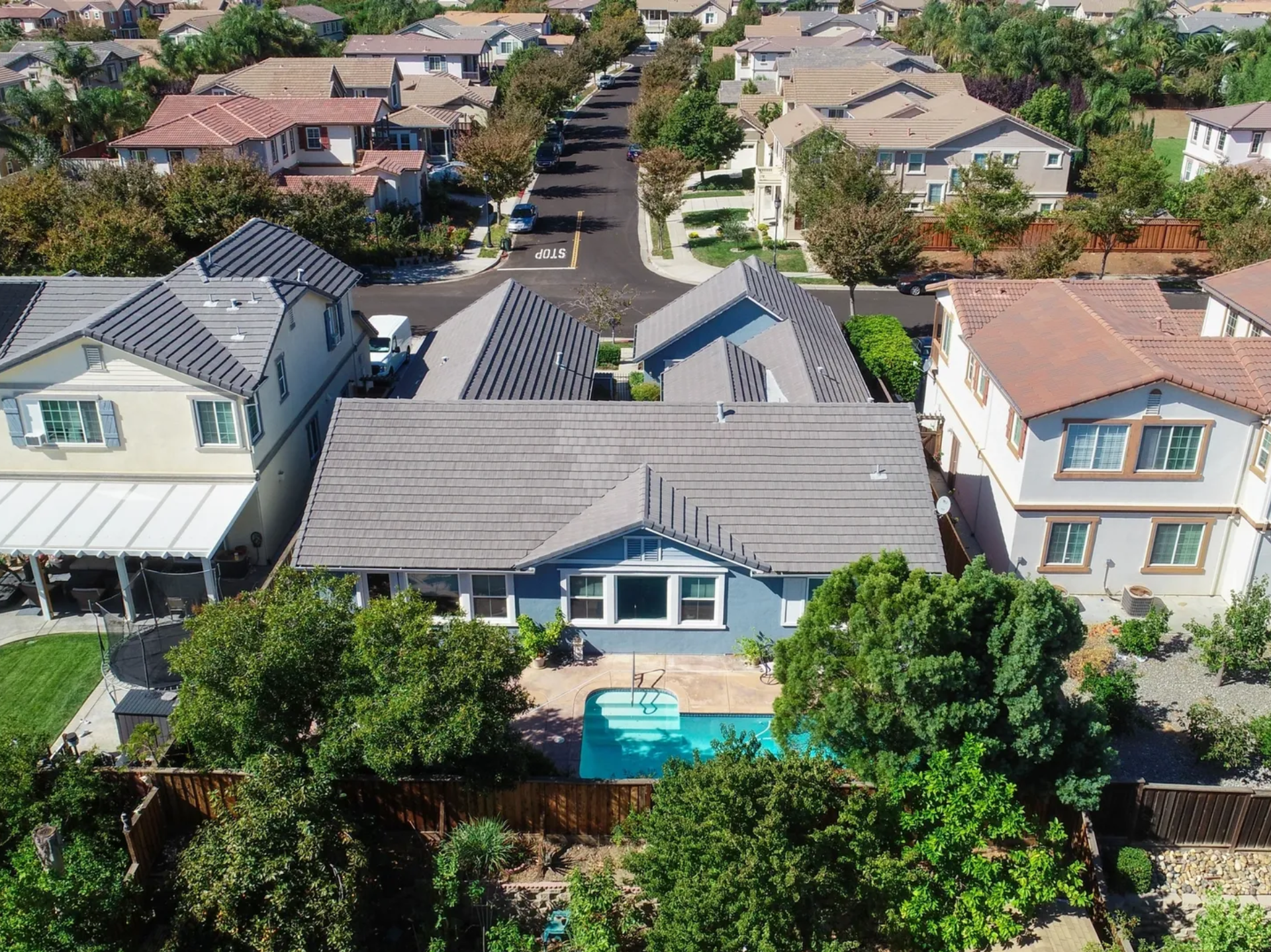
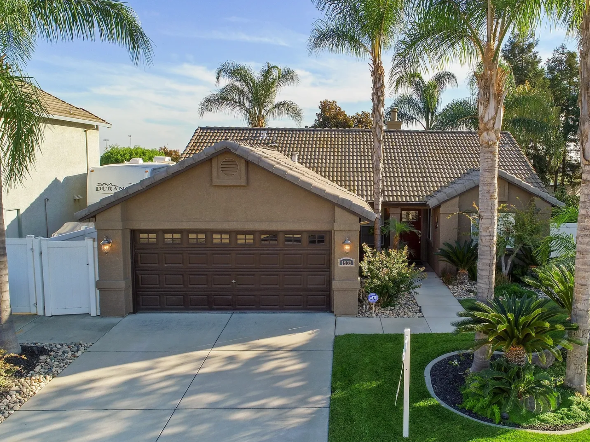
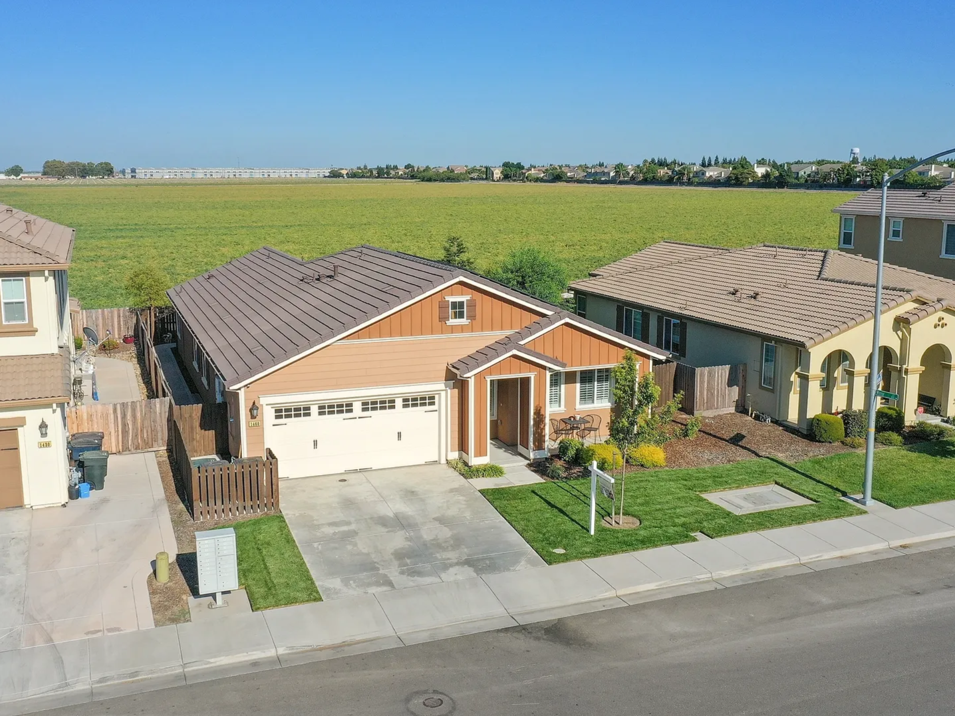
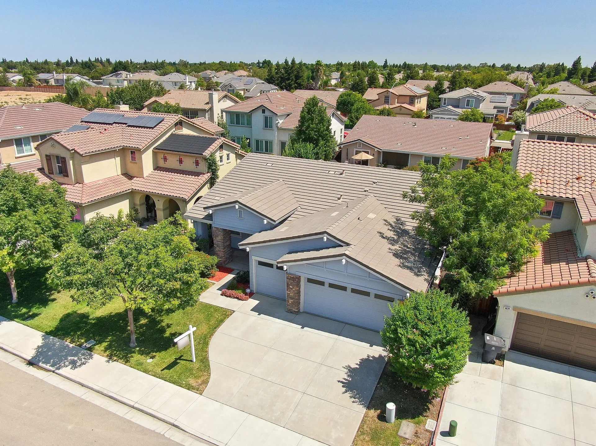
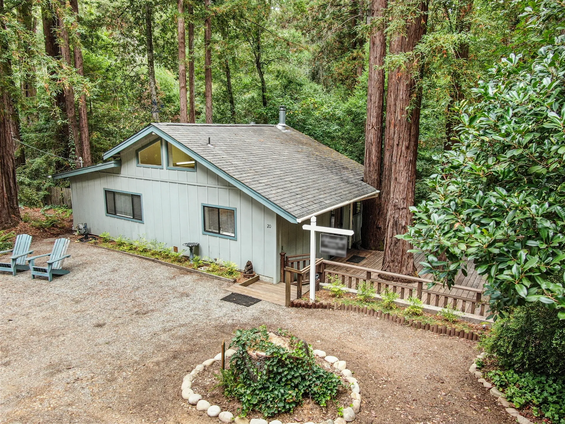
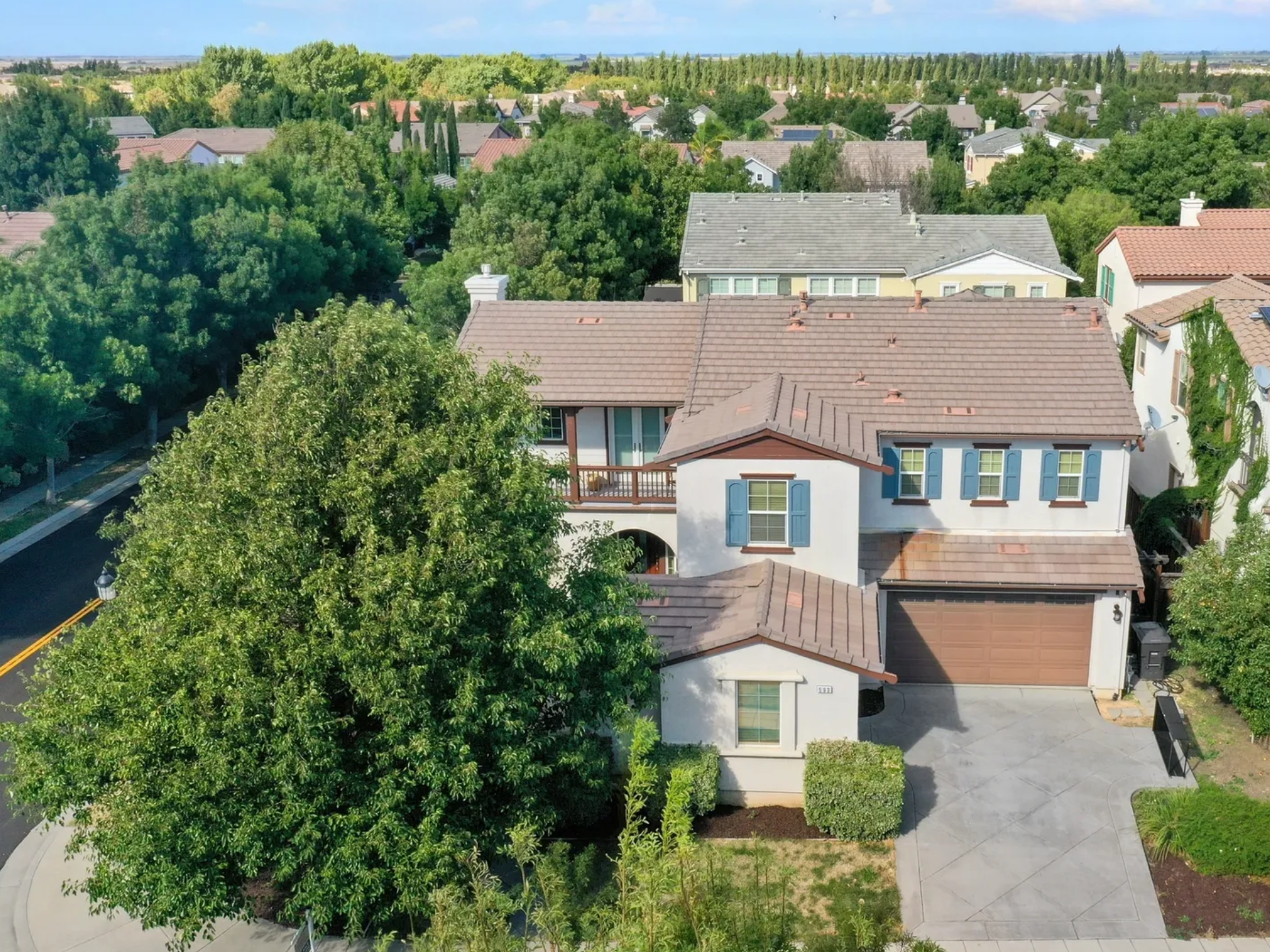

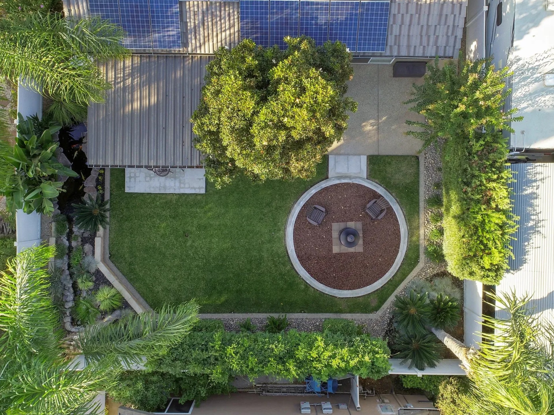
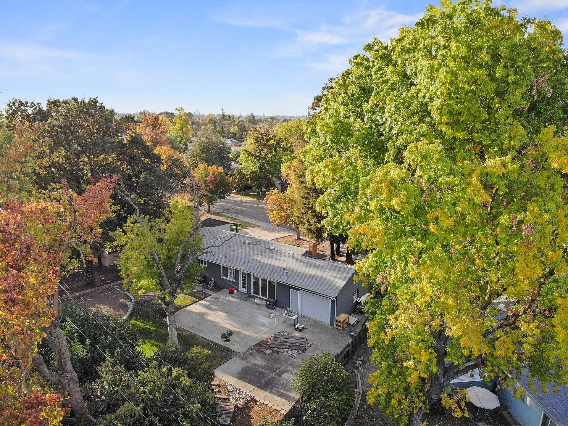
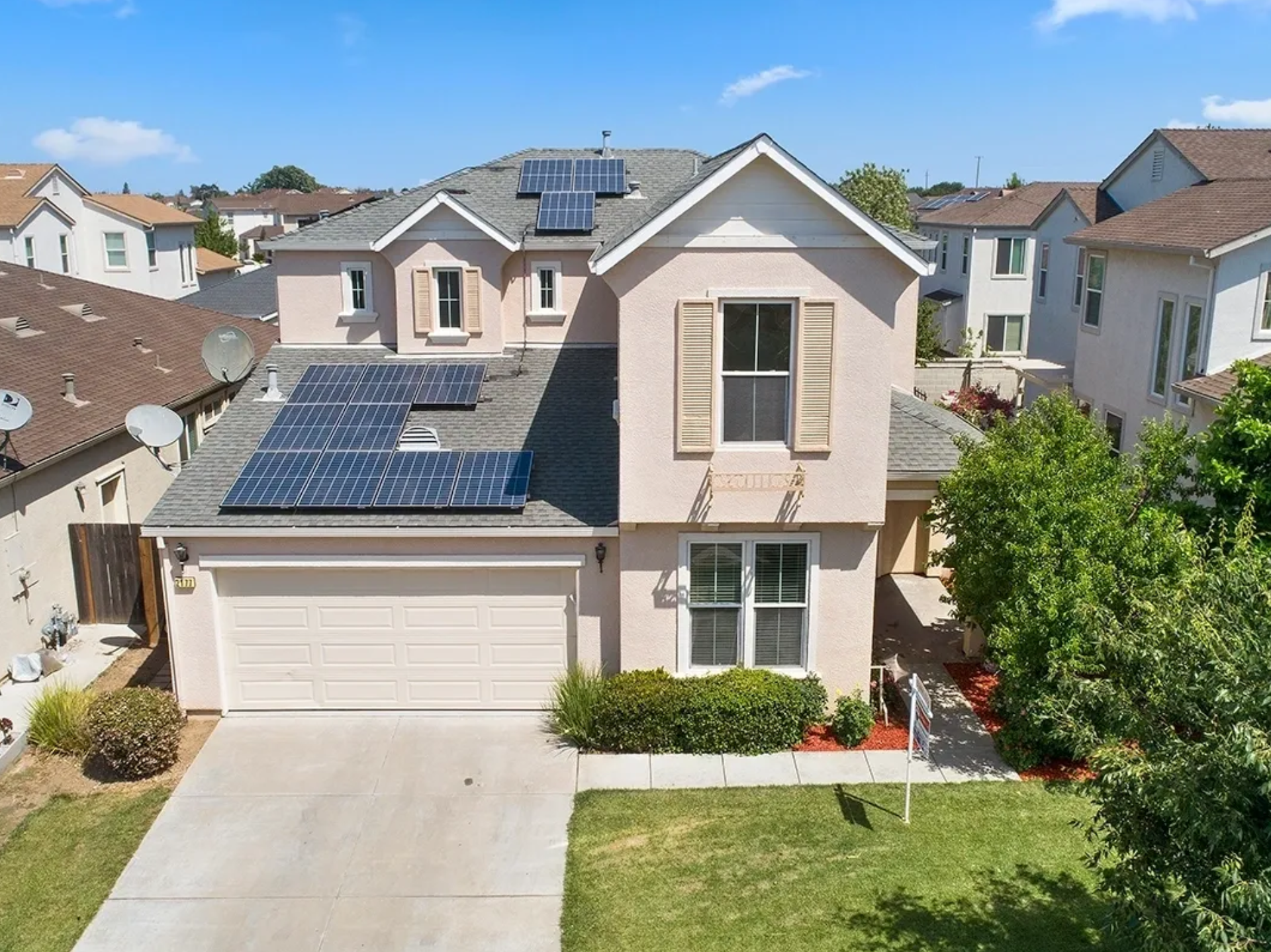

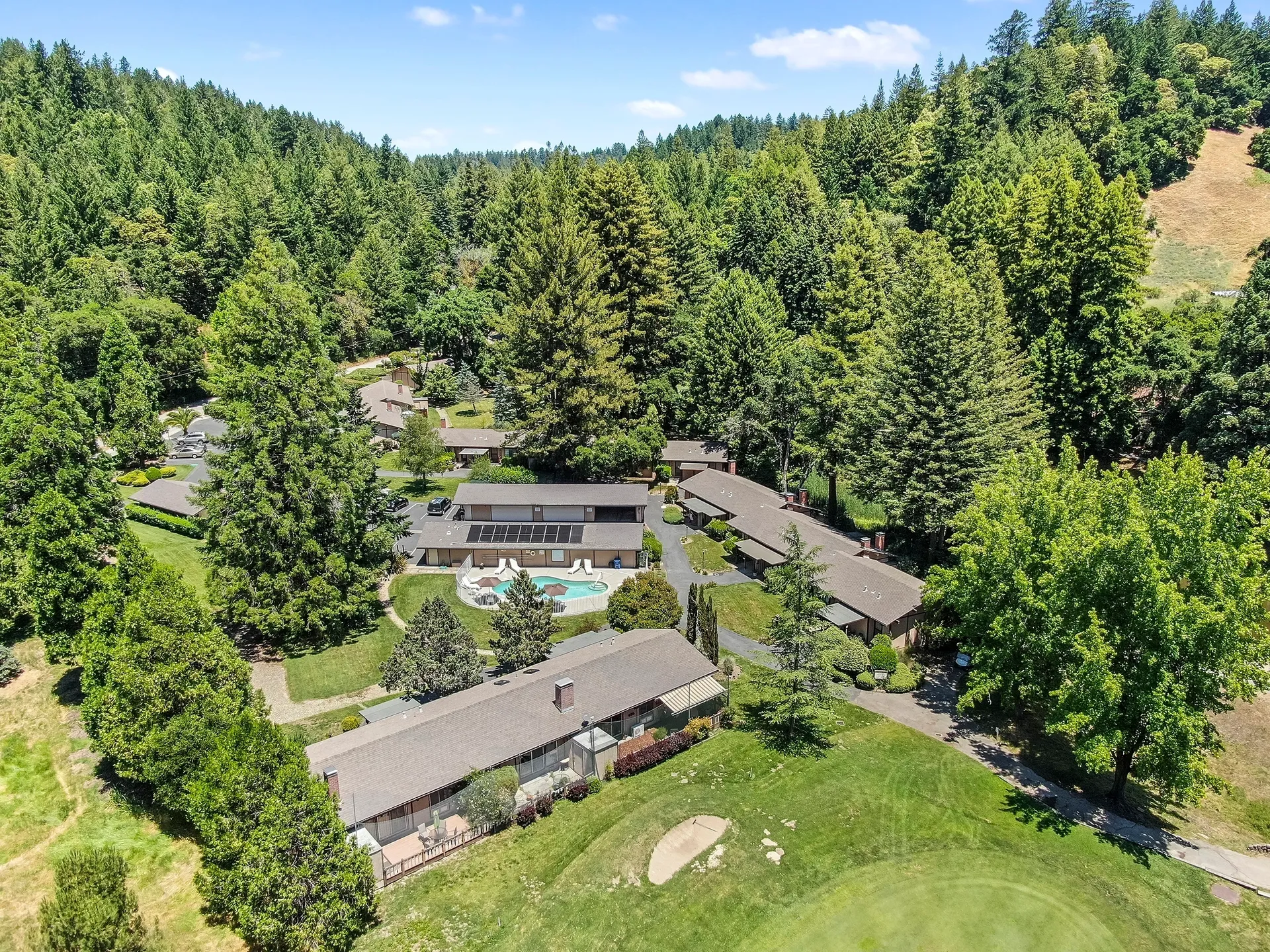
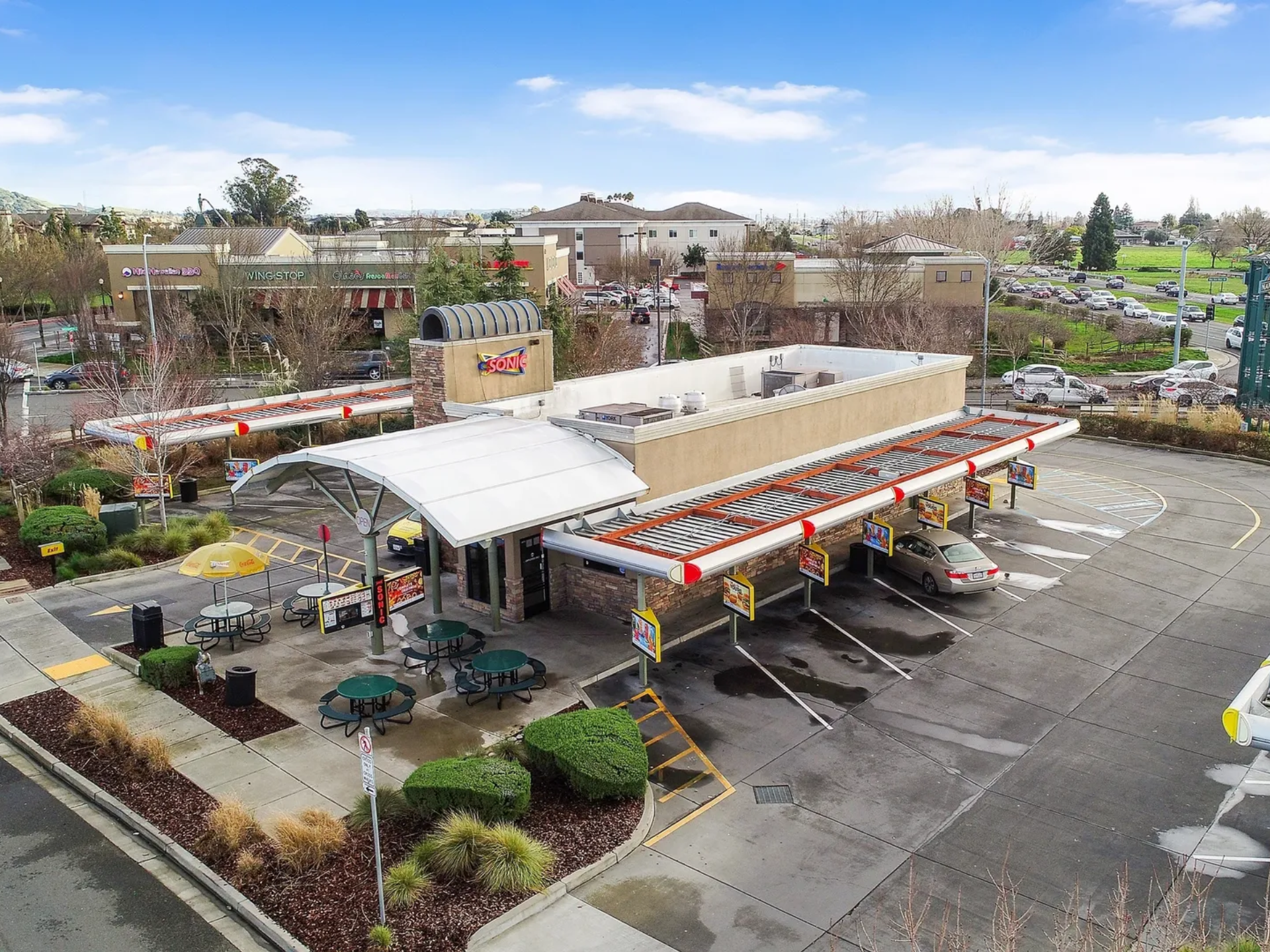
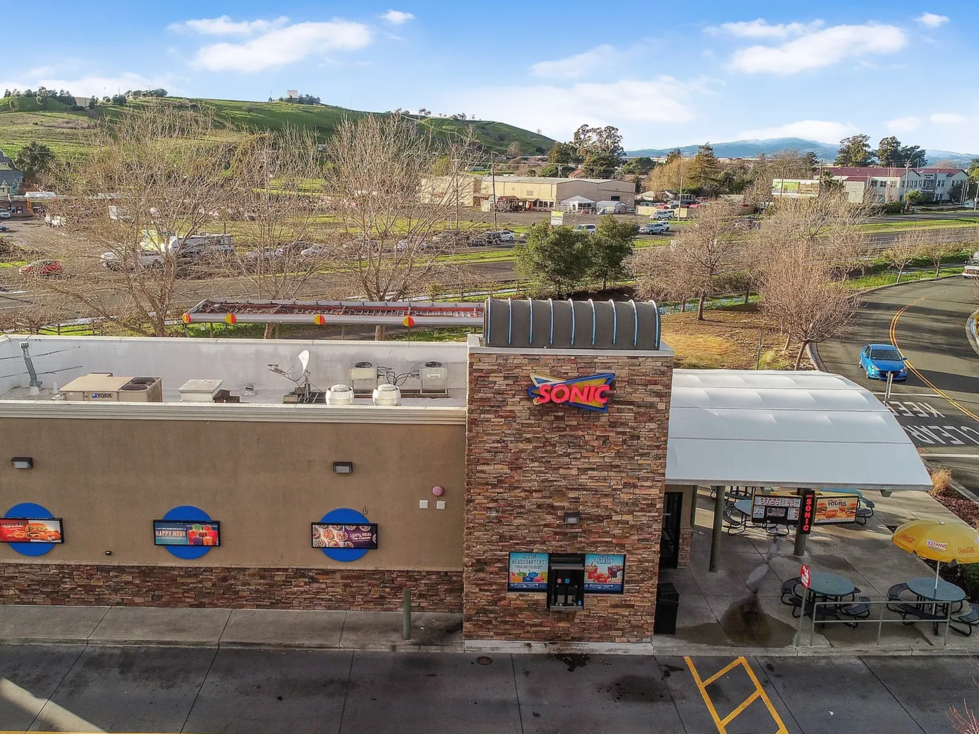
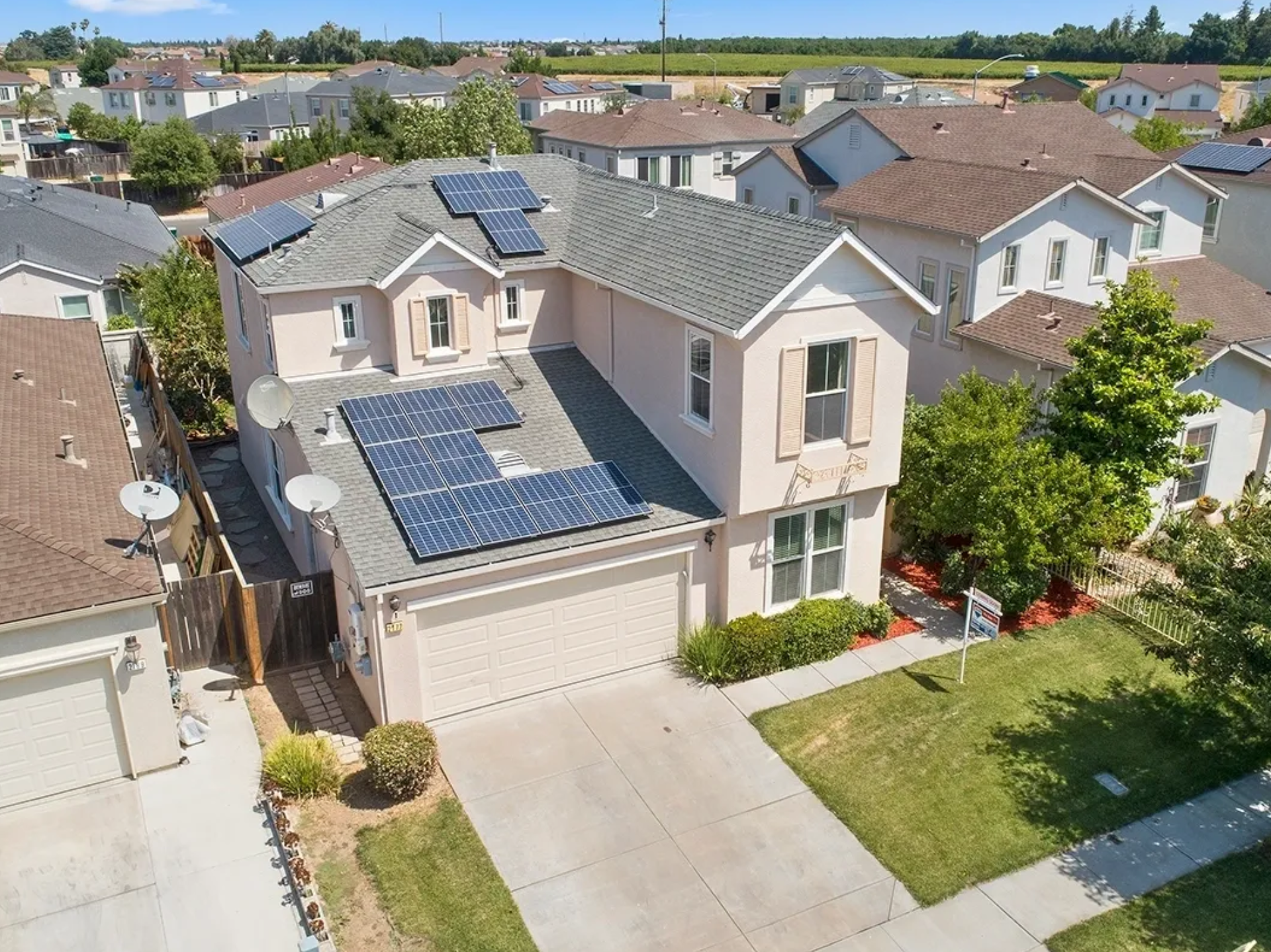
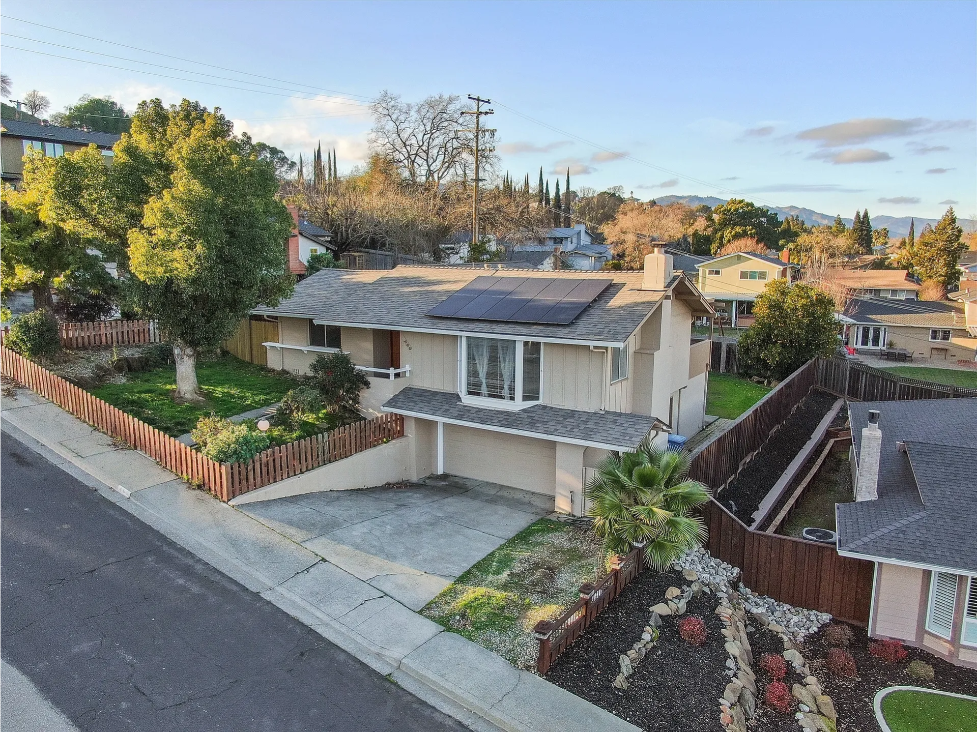

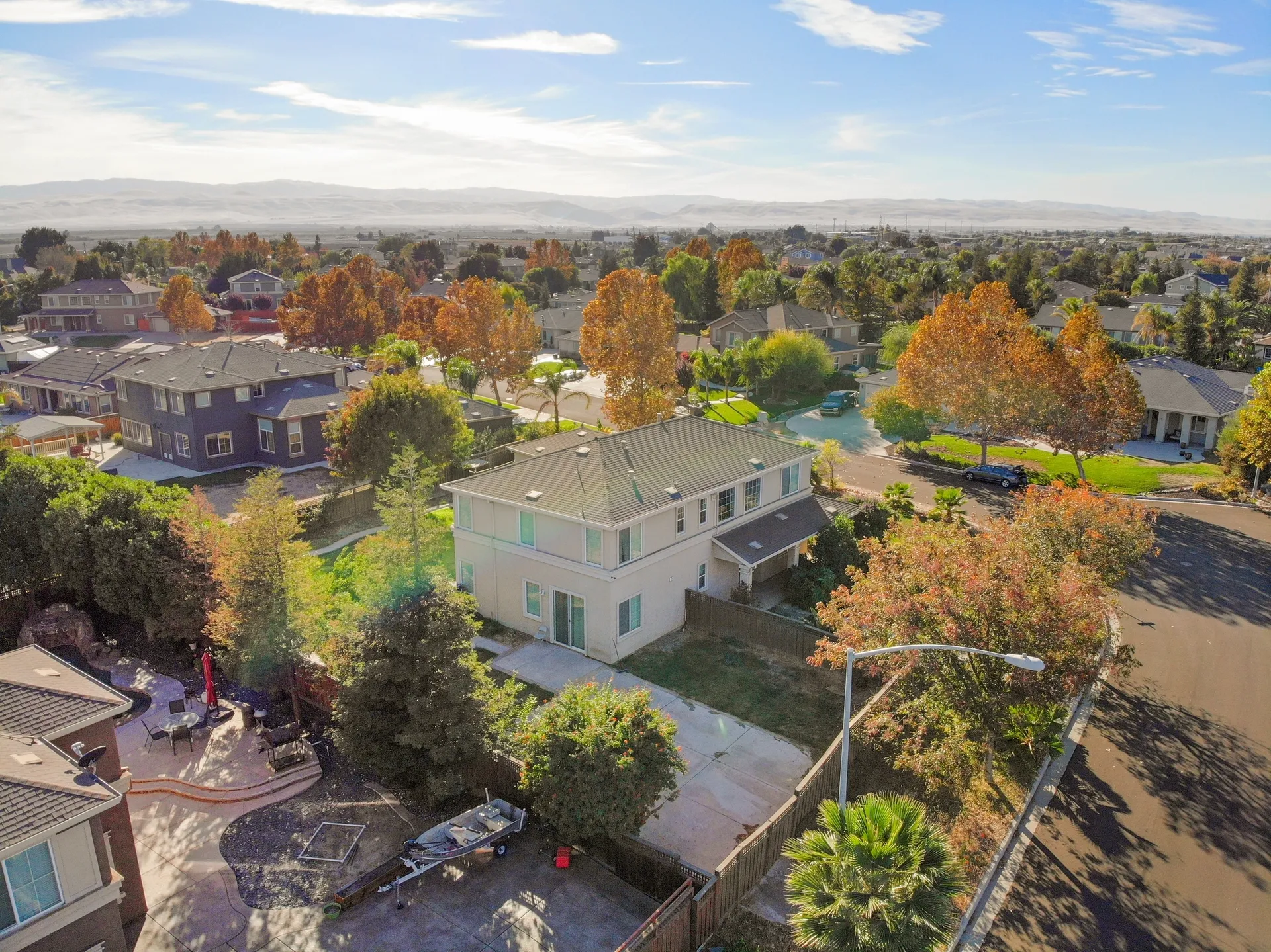
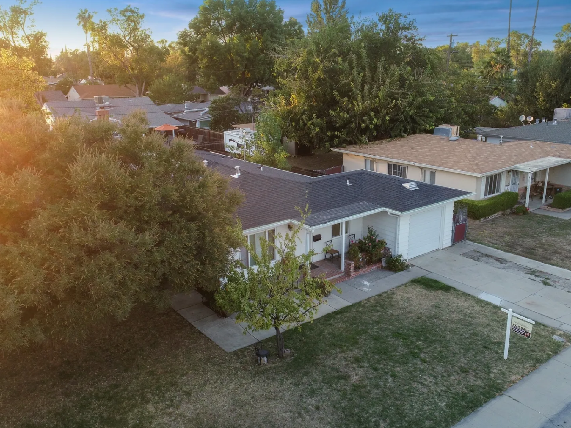
Still photos of the home/site and its surroundings from the air. (10-15 images)
All aerial photography and videography at Sparks Media Group is performed by FAA Part 107 certified drone operators — the federal certification required for all commercial drone operations in the United States. This ensures every aerial shoot is legal, safe, and compliant with FAA regulations.
All aerial photography and videography at Sparks Media Group is performed by FAA Part 107 certified drone operators. This certification is required by the FAA for all commercial drone operations in the United States and ensures that our flights are legal, safe, and compliant with all applicable regulations. Our drone equipment captures professional-quality aerial images at various altitudes, giving agents the ability to showcase property lot size, proximity to amenities, neighborhood context, and large lot features including pools, outbuildings, and landscaping.
Yes — all aerial photography and videography at Sparks Media Group is performed by FAA Part 107 certified operators. This is the federal certification required for all commercial drone operations in the United States.
Aerial photography includes 10–15 high-resolution images of the property and surrounding area, delivered within 24 hours at $225 + tax.
Aerial photography requires suitable weather conditions — generally less than 15 mph winds and no precipitation. If conditions prevent flight on your scheduled day, we will reschedule at no charge.
Aerial photos are still images captured from a drone. Aerial video is a moving flyover video (1–2 minutes). We offer both — see our Videography page for aerial video pricing starting at $450.
We typically fly between 50 and 400 feet above ground level, within FAA-regulated limits, to capture the optimal perspective for each property.